Active
Updated Nov 15, 2026
1,607 acres
·50% contained
Geostationary GOES_ABI weather satellite sensors registered two merged high-intensity thermal anomalies in Stanislaus County, California , delineating an e…
Active
Updated Nov 15, 2026
497 acres
·55% contained
NASA MODIS polar-orbiting thermal instruments flagged two merged active heat detections spanning 496.9 acres (201 hectares) in Glenn County, California on …
Contained
Updated Nov 15, 2026
840 acres
·90% contained
Multiple large prescribed fire operations scheduled across the Shasta-Trinity National Forest and nearby CAL FIRE units pushed air quality in Redding, Cali…
Contained
Updated Nov 15, 2026
113 acres
·65% contained
NOAA-21 VIIRS thermal sensors detected 113.0 acres (46 hectares) of active heat across two merged observations in Linn County, Oregon on November 12, as re…
Active
Updated Nov 15, 2026
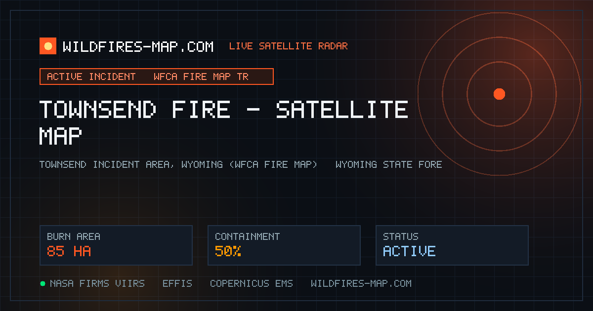
210 acres
·50% contained
The Townsend Fire in Wyoming was logged on the Western Fire Chiefs Association (WFCA) Fire Map on November 12, burning dry sagebrush and cured bunchgrasses…
Active
Updated Nov 15, 2026
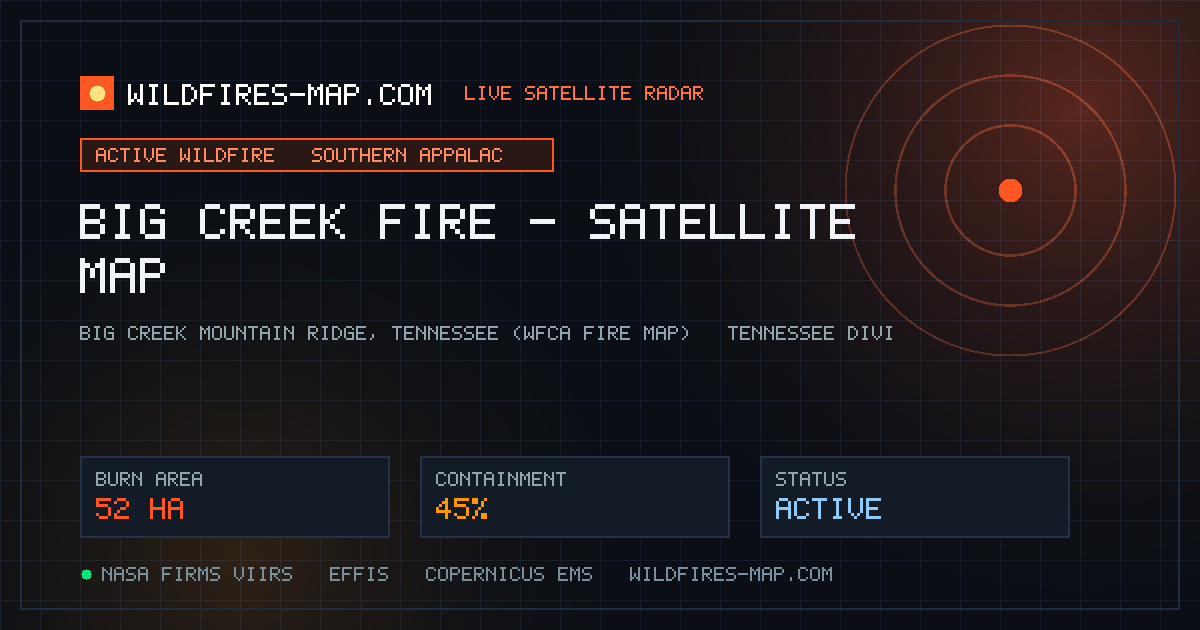
128 acres
·45% contained
The Big Creek Fire in Tennessee is being actively tracked on the WFCA Fire Map as Tennessee Division of Forestry crews and local responders battle spreadin…
Contained
Updated Nov 15, 2026
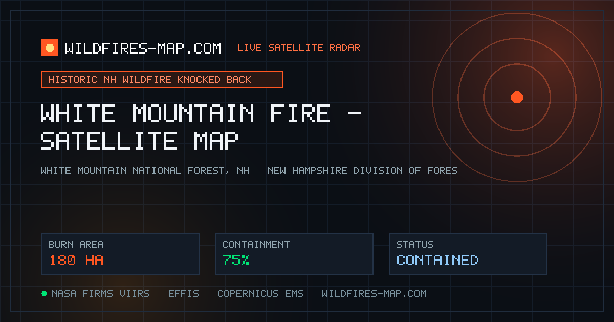
445 acres
·75% contained
Wildland firefighters from across New England successfully pushed back a massive, historic wildfire in New Hampshire's White Mountain National Forest this …
Contained
Updated Nov 15, 2026
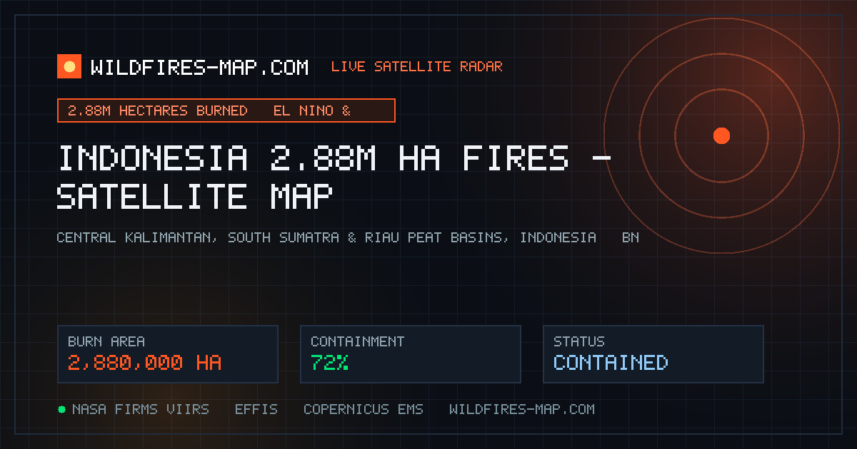
7,116,630 acres
·72% contained
New scientific assessments published November 12–13 confirm that wildfires across Indonesia —supercharged by a strong El Niño pattern, record heat extremes…
Active
Updated Nov 15, 2026
1,038 acres
·70% contained
European Space Agency ( ESA ) Copernicus Sentinel-2 multispectral infrared imagery released November 12 captured multiple active fire fronts burning near B…
Active
Updated Nov 15, 2026
136 acres
·50% contained
The Jefferson 359 Fire in Jefferson County, Arkansas was tracked by the WFCA Fire Map starting November 12, burning dry pine needles and cured grass across…
Active
Updated Nov 15, 2026
192 acres
·55% contained
Two active wildland incidents—the Union 334 Fire and the Four Tens Fire —emerged in southern Arkansas on November 13, prompting coordinated responses logge…
Active
Updated Nov 15, 2026
502 acres
·60% contained
Dual NASA/NOAA polar satellite passes on November 13 captured major heat signatures across eastern Arkansas: 265.3 acres in Cross County (VIIRS_NOAA20, 6 m…
Active
Updated Nov 15, 2026
138 acres
·65% contained
Satellite telemetry recorded persistent fire activity in Clay County, Arkansas across three consecutive days (Nov 12–14), peaking with a VIIRS_NOAA21 detec…
Active
Updated Nov 15, 2026
1,520 acres
·50% contained
Geostationary GOES_ABI thermal imaging recorded a 1,519.5-acre (615-hectare) heat footprint across two merged observations in Jackson County, Arkansas on N…
Active
Updated Nov 15, 2026
403 acres
·55% contained
NASA/NOAA VIIRS satellites tracked multiple active heat anomalies across Idaho between November 12 and 13, including 173.5 acres in Owyhee County (VIIRS_NO…
Contained
Updated Nov 15, 2026
345 acres
·70% contained
High-resolution SOF satellite telemetry logged an extraordinary cluster of 227 merged thermal detections in Sanders County, Montana on November 12, flagged…
Active
Updated Nov 15, 2026
112 acres
·55% contained
The Anderson 9931 Fire ignited in Anderson County in East Texas on November 13, bringing out Texas A&M Forest Service wildland bulldozers and county volunt…
Active
Updated Nov 15, 2026
1,553 acres
·55% contained
Geostationary GOES_ABI sensors detected 1,553.1 acres (629 hectares) of active thermal radiance across two merged observations in Stoddard County, Missouri…
Contained
Updated Nov 15, 2026
171 acres
·75% contained
Satellite sensors recorded 170.5 acres of thermal activity in Coconino County, Arizona via VIIRS_NOAA20 on November 13, followed by 5 merged SOF detections…
Active
Updated Nov 15, 2026
142 acres
·65% contained
A fast-spreading woods fire near McDonald Road and Theodore-Dawes Road forced a multi-hour closure of both eastbound and westbound lanes of Interstate 10 i…
Active
Updated Nov 15, 2026
566 acres
·60% contained
Satellite sensors recorded significant burning across Mississippi on November 13–14, led by a 495.9-acre MODIS thermal detection in coastal Harrison County…