Live Incident Coverage · Updated Nov 17, 2026 (UTC)
Active Wildfire News & Incident Reports (Page 2)
Satellite-verified wildfire intelligence, thermal hotspot analysis, containment rates, and wildlife habitat impact reports across North America, South America, Europe, Asia, and Oceania.
253
Tracked Wildfire Reports
7,587,672 ha
Total Perimeter Footprint
Page 2 / 13
Crawlable Archive Index
VIIRS + EFFIS
Orbital Data Verification
Showing 22–42 of 253 wildfire incidents·Page 2 of 13
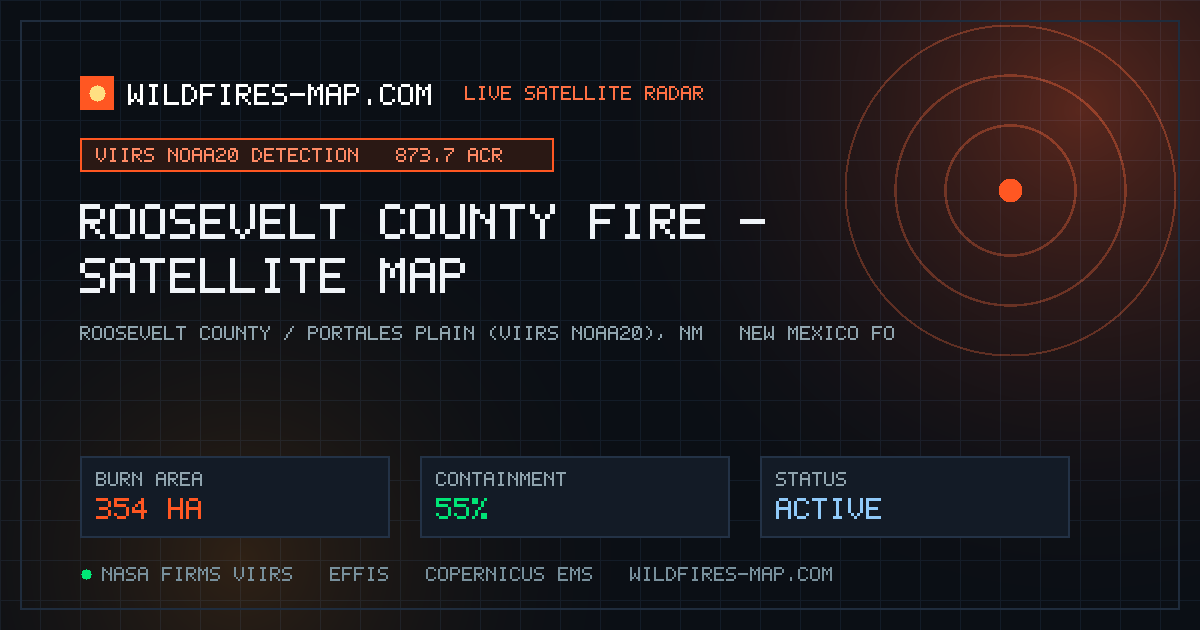
NOAA-20 VIIRS orbital thermal sensors flagged a substantial 873.7-acre (354-hectare) fire footprint across 15 merged observations in Roosevelt County, New …
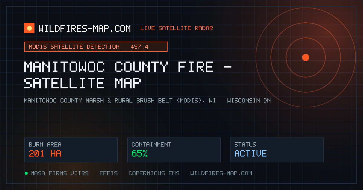
NASA MODIS thermal sensors captured a 497.4-acre (201-hectare) heat signature across two merged observations in Manitowoc County, Wisconsin on November 15–…
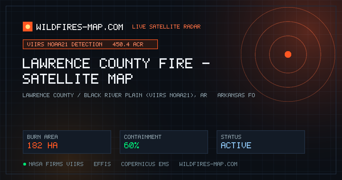
NOAA-21 VIIRS thermal sensors detected 450.4 acres (182 hectares) across seven merged fire observations in Lawrence County, Arkansas on November 15–16, log…
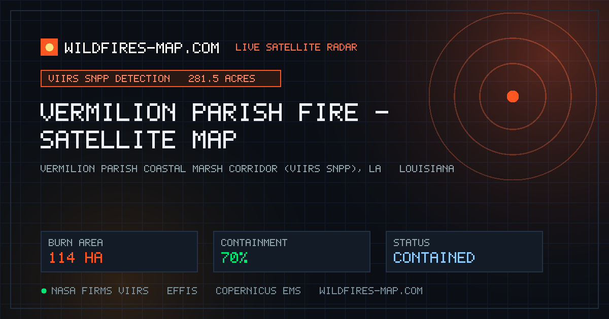
Suomi-NPP VIIRS instruments recorded 281.5 acres (114 hectares) across six merged observations in Vermilion Parish, Louisiana on November 15–16, according …
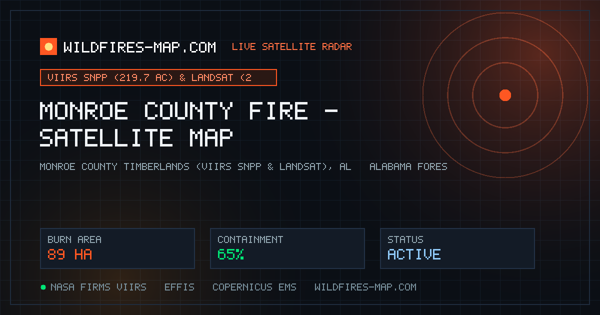
Multi-sensor satellite passes flagged persistent fire activity in Monroe County, Alabama on November 15–16, anchored by a 219.7-acre VIIRS_SNPP detection (…
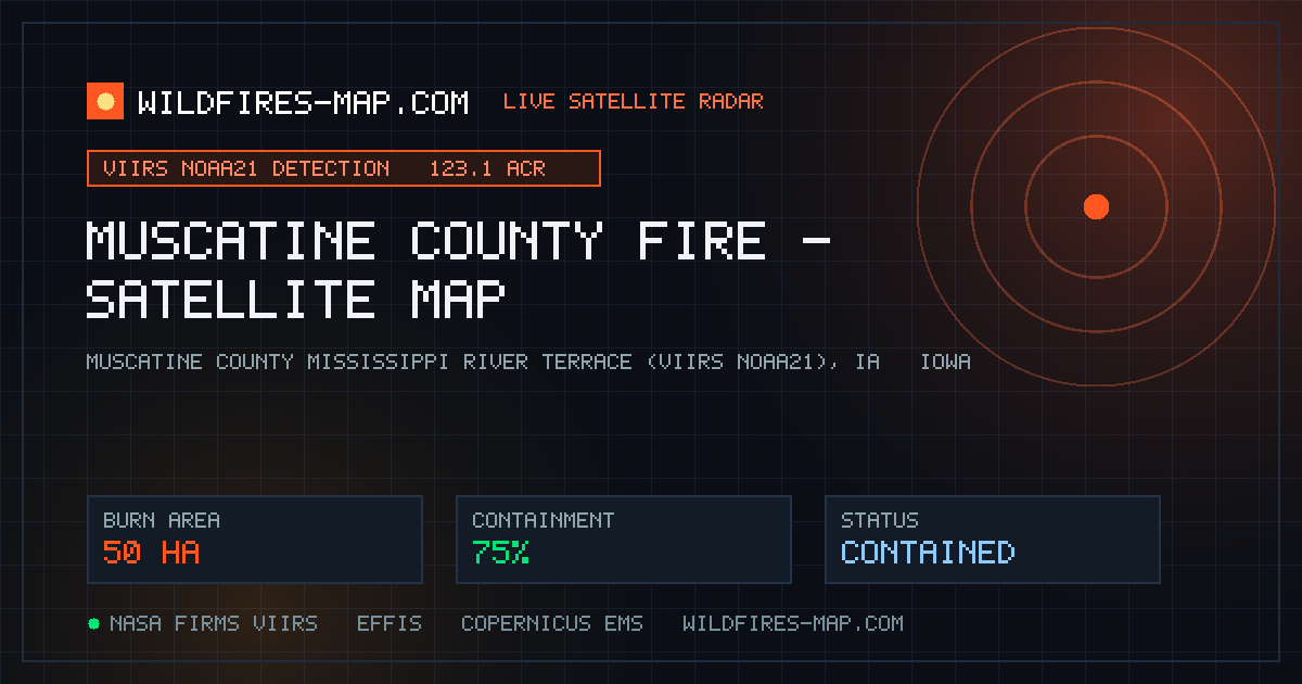
NOAA-21 VIIRS thermal sensors detected 123.1 acres (50 hectares) across four merged observations in Muscatine County, Iowa on November 15–16, expanding on …
NOAA-21 VIIRS thermal sensors detected 75.4 acres (31 hectares) across two merged heat observations in Cass County, North Dakota on November 15–16, logged …
NOAA-21 VIIRS recorded 63.7 acres (26 hectares) across two merged thermal detections in Divide County, North Dakota on November 15–16 via the WFCA Fire Map…
Landsat high-resolution sensors logged 25 merged observations over a compact 5.6-acre (2-hectare) heat zone in Sheridan County, North Dakota on November 15…
Landsat thermal satellites registered 6 merged observations across a 1.3-acre burn spot in Lincoln County, Tennessee on November 15–16. Tennessee Division …
Landsat detected 0.4 acres across two merged thermal observations in Mills County, Iowa south of the Omaha-Council Bluffs metro on November 15–16. Local vo…
A large, visible column of smoke rising near Grizzly Flats in El Dorado County on November 15 was officially confirmed by the Eldorado National Forest as a…
From a newly rebuilt perch atop the High Glade Lookout in the Mendocino National Forest , Forest Service fire lookout Aslan continues scanning deep North C…
Firefighters in Baker City, Oregon endured a busy Sunday, November 15 after responding to multiple overnight brush fires —including a 1 a.m. blaze near 16t…
A November 15 report in The Salt Lake Tribune highlighted growing concern in rural Beaver County, Utah after federal disaster relief rules denied critical …
Fresh coverage from the Financial Times , Claims Journal , and Dialogue Earth on November 16 underscores the historic toll behind Indonesian President Prab…
The West Virginia Division of Forestry reported via WV MetroNews on November 16 that the 368-acre Kessel Fire at Cacapon Resort State Park in Morgan County…
The Big Grass Fire is actively tracked through the federal InciWeb (Wildfire.gov) interagency reporting system following ignition in cured November grassla…
The Bridge Creek Fire in central Oregon is under active suppression and tracked in real time on the Western Fire Chiefs Association (WFCA) Fire Map. Respon…
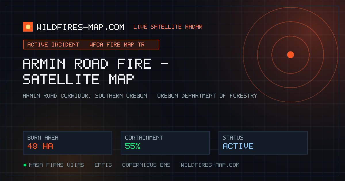
The Armin Road Fire in Oregon was flagged by regional dispatch and the WFCA Fire Map on November 12, burning cured brush and pine understory along rural ro…
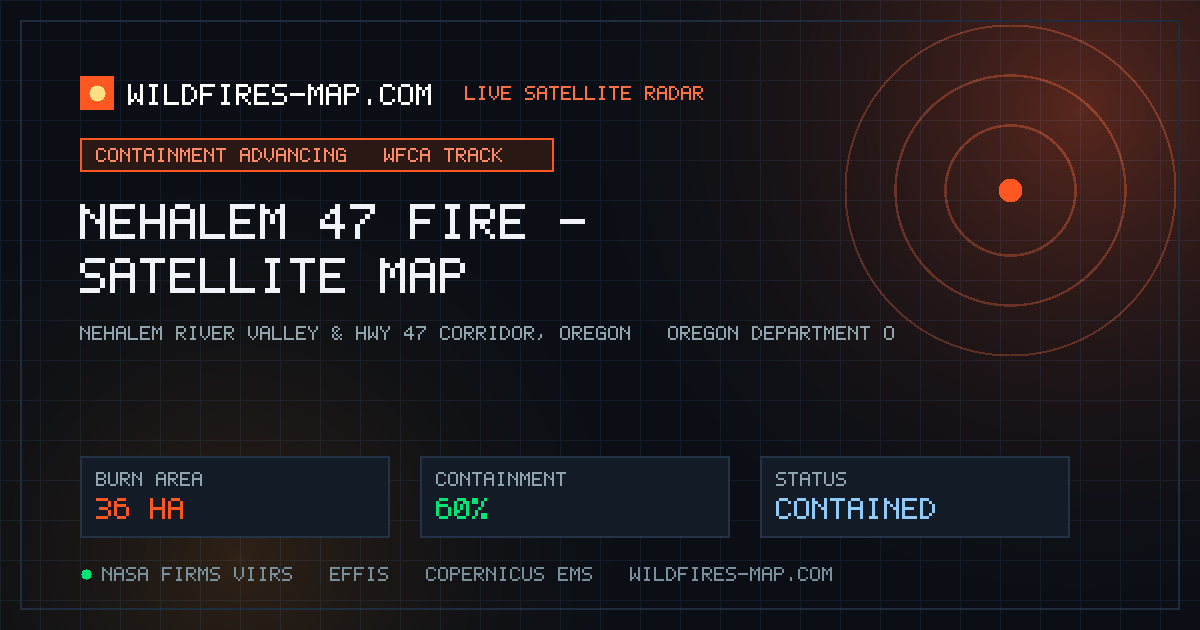
Fire crews responded on November 13 to the Nehalem 47 Fire in northwestern Oregon, working alongside Tillamook and Clatsop County responders as tracked on …