Live Incident Coverage ยท Updated Nov 17, 2026 (UTC)
Active Wildfire News & Incident Reports (Page 7)
Satellite-verified wildfire intelligence, thermal hotspot analysis, containment rates, and wildlife habitat impact reports across North America, South America, Europe, Asia, and Oceania.
253
Tracked Wildfire Reports
7,587,672 ha
Total Perimeter Footprint
Page 7 / 13
Crawlable Archive Index
VIIRS + EFFIS
Orbital Data Verification
Showing 127โ147 of 253 wildfire incidents·Page 7 of 13
An overnight three-alarm fire prompted the immediate evacuation of an apartment building and led to the temporary closure of adjacent popular restaurant La…
A tragic pre-dawn house fire in the 600 block of Geranium Street NW in Washington, D.C., resulted in one fatality and left six others injured, including th…
Firefighters from the Austin Fire Department and Travis County Emergency Services District #12 battled a wind-driven brush fire that sparked near a residen…
A massive commercial tractor-trailer fire stalled traffic for hours on Interstate 285 South just before Cobb Parkway near The Battery Atlanta on Sunday. Th…
The fast-moving Danny Fire erupted along the northbound lanes of Interstate 5 near Gorman, just north of Smokey Bear Road. Propelled by gusty desert-to-mou…
Fire crews on the Bull Fire north of Verdi, Nevada, have achieved major progress, expanding containment to 69% while successfully halting perimeter expansi…
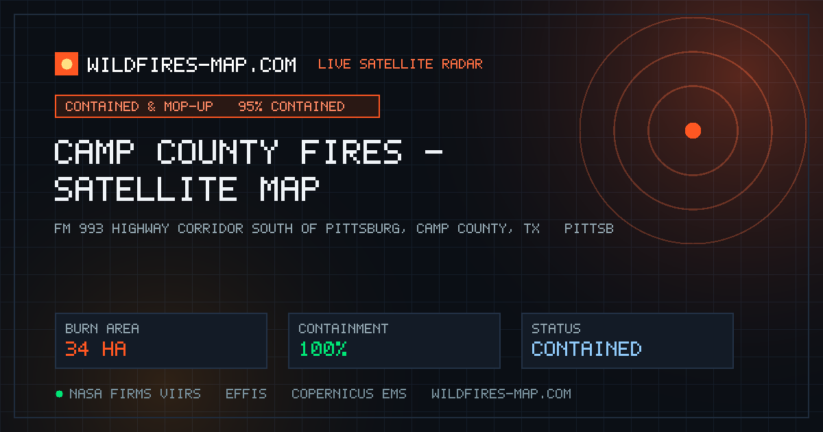
In one of the most unusual wildland incidents of the autumn season, volunteer firefighters across Camp County, Texas, battled 36 individual grass fires tha…
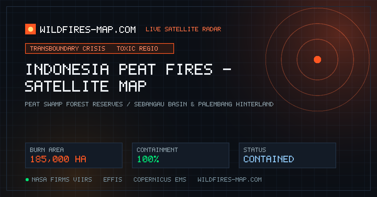
Severe forest and peatland fires raging across Indonesian Borneo (Kalimantan) and Sumatra have reached critical intensity, scorching over 185,000 hectares …
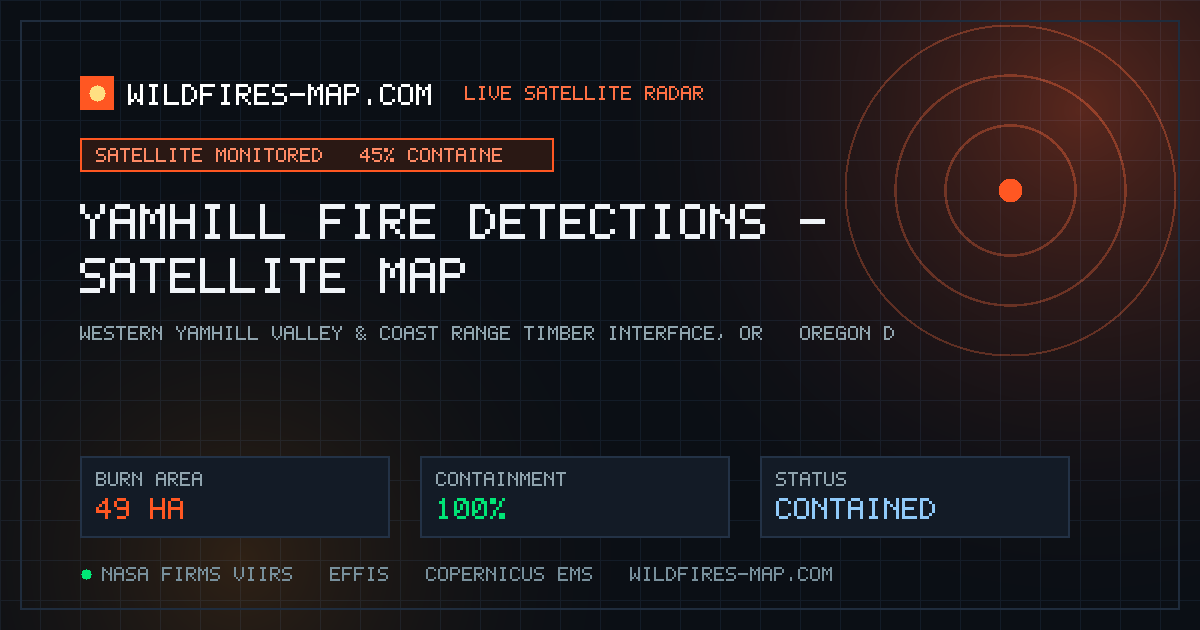
Satellite observation systems operated by the Western Fire Chiefs Association (WFCA) and NOAA-NASA orbital sensors detected emerging thermal hotspots in Ya…
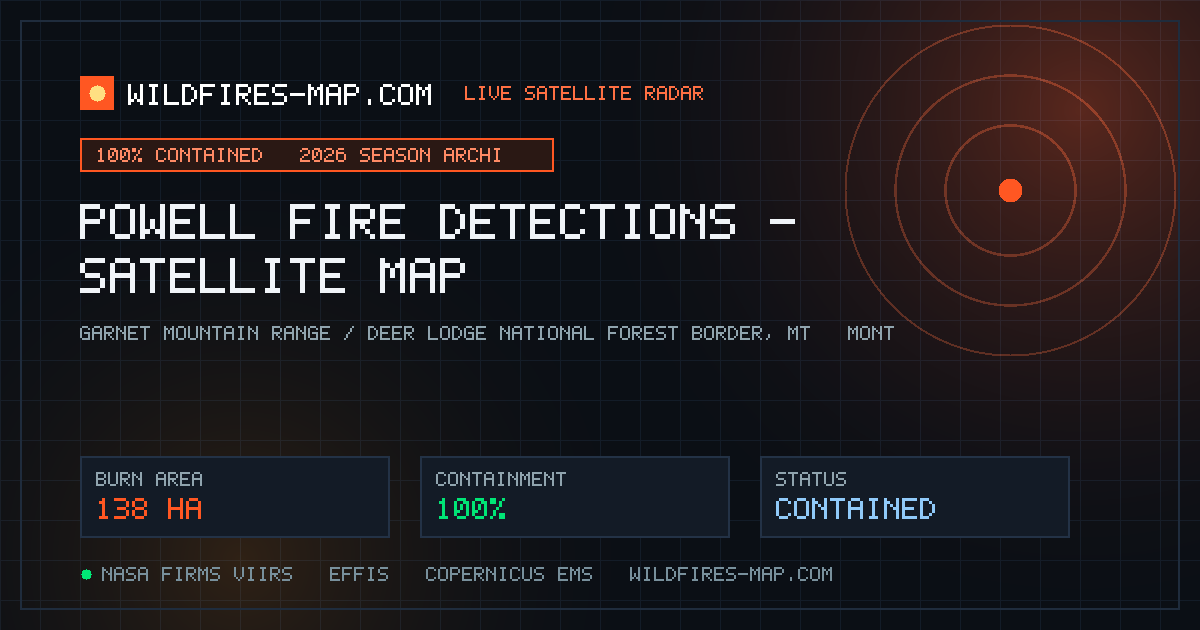
Satellite thermal sensors monitoring Powell County, Montana , confirmed active wildfire behavior from eight merged satellite observations, highlighting an …
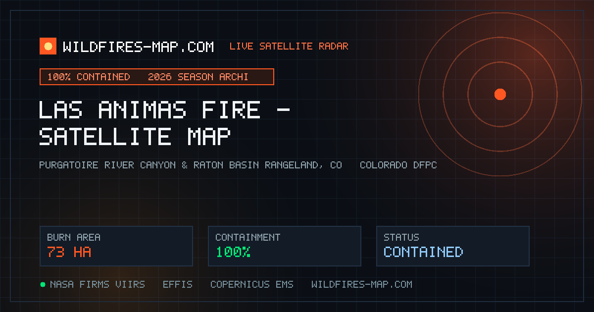
A fast-spreading brush fire erupted across canyon rangeland in Las Animas County, Colorado , detected by NOAA and Landsat satellites across five merged obs…
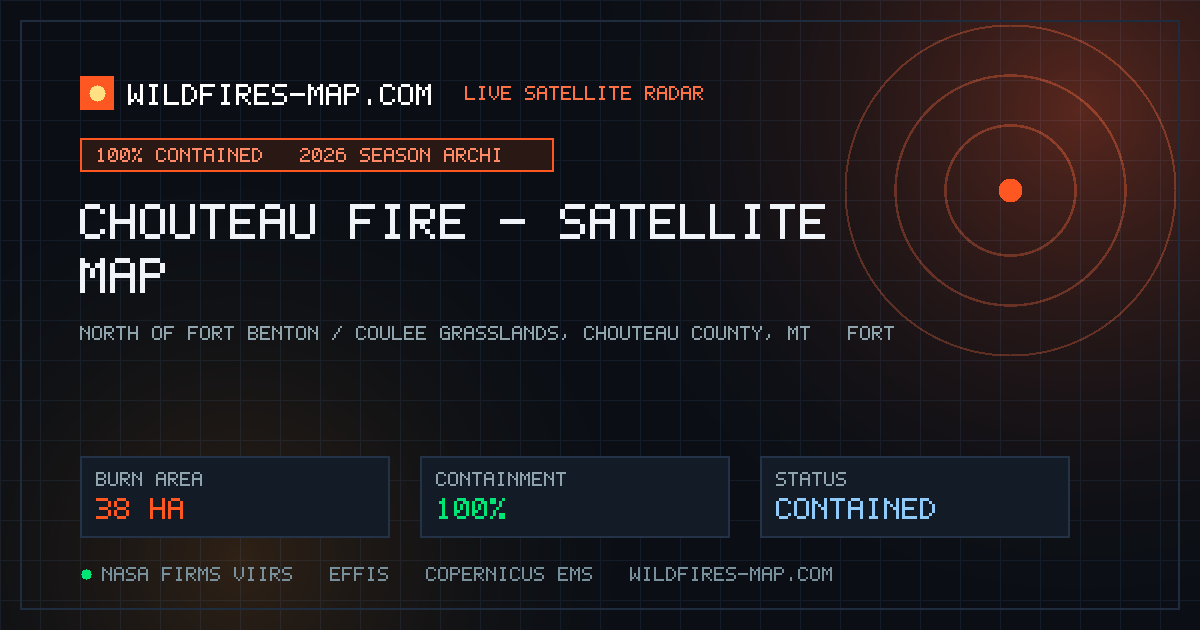
Satellite thermal scanners observed hotspot activity in Chouteau County, Montana , from two merged orbital passes north of Fort Benton. Local farmers and F…
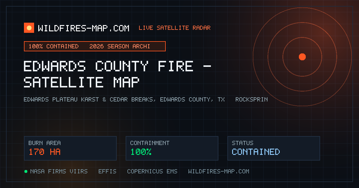
The Edwards County Rangeland Fire ignited in dense cedar and mesquite scrub across the Edwards Plateau of Southwest Texas, verified by Landsat satellite se…
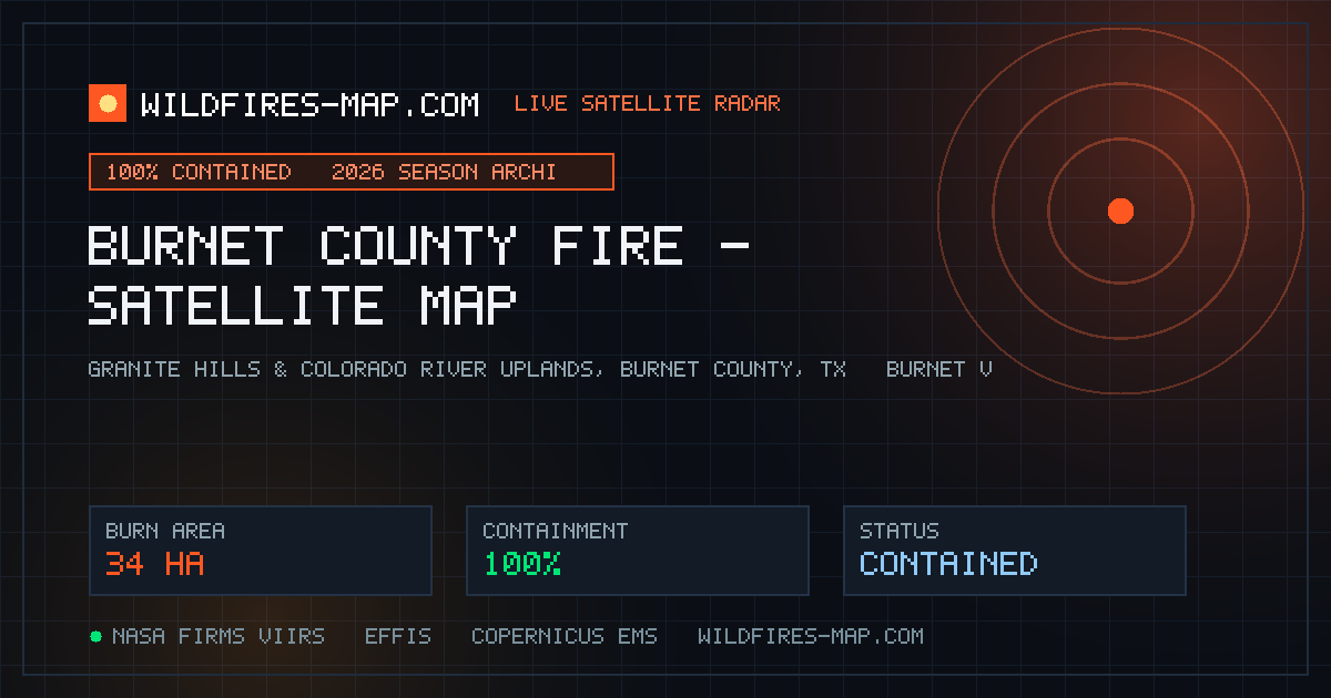
Landsat orbital sensors observed three merged thermal signatures indicating an active brush fire burning in Burnet County, Texas , in the scenic Highland L…
A fast-moving range fire in Sherman County, Oregon , was identified through five merged satellite observations by the Western Fire Chiefs Association and N…
Satellite observation feeds flagged an active wildland fire in Sevier County, Utah , with four merged orbital passes detecting hotspots along the slopes of…
Landsat satellite orbital sensors registered thermal signatures covering 130 acres in McPherson County, Kansas , from four merged observations. Volunteer f…
Satellite thermal scanners observing Grant County, Oregon , identified three merged hotspot passes showing active fire behavior in dense Blue Mountain timb…
Orbital thermal sensors from Landsat and NOAA satellites detected 10 merged hotspot observations covering 190 acres in Gunnison County, Colorado . U.S. For…
Landsat satellite observations recorded active thermal signatures in Fentress County, Tennessee , along the elevated rim of the Cumberland Plateau. Tenness…